29
days at sea
4
CTD casts
37,000
Km² mapped
100
samples filtered for microplastics
3,300+
individual seabirds were observed from over 17 different species.
SEAFLOOR TO SEABIRDS
IN THE CORAL SEA
#CoralSeafloor
02/06/2021 – 03/06/2021
Brisbane, AUS
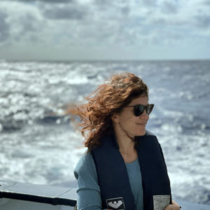
Chief Scientist: Dr. Derya Gürer
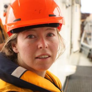
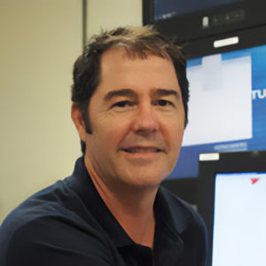
Co-Chief Scientists: Dr. Helen Bostock, Dr. Robin Beaman
The University of Queensland, The University of Tasmania – Institute for Marine and Antarctic Studies, The University of Wollongong, James Cook University, The University of Oslo – Centre for Earth Evolution and Dynamics, Ben-Gurion University of the Negev, The University of Sydney, Geoscience Australia, Birdlife Australia, expedition
Expedition objectives
Collect seafloor bathymetric and magnetic data to examine the tectonic evolution of the Eastern Australian margin
Sample seawater to quantify the presence of microplastics
Survey seabirds to gain an understanding of ocean health in the Coral Sea
The seafloor of the Coral Sea Marine Park is full of clues to help better understand the complex geological history of the Australian and submerged Zealandia continent. Previously, there had been limited coverage and understanding of seafloor data in the Coral Sea – particularly on the Keen Reef and Plateau, an original part of the landmass that was drowned during Australia’s break from the ancient supercontinent Gondwana. Charting the seafloor in these areas is crucial for the understanding of the geological evolution of this region.
The new data obtained will provide detailed information on the tectonic evolution of the Eastern Australia margin during the breakup of Gondwana and help reveal microplate boundaries and the ocean-continent boundary of Australia’s eastern shelf.
Additionally, maps created will provide insight into Parks Australia’s management needs for defining IUCN Special Purpose Zones. The analysis of the data collected during this voyage will enable researchers to better understand the northernmost boundaries of the submerged Zealandia continent, and when and how the Cato and Tasman basins opened.
The seafloor mapping data collected unveiled new features, such as plateaus and ridges, which are important for reconstructing the geologic history of this region. Key areas mapped include Kenn and Wreck reefs and an unmapped trawl zone that disproved a charted shoal’s depth from a rogue sounding dating back to 1962.
The data collected on seabirds and microplastics provide a proxy for ocean health. Over 100 seawater samples were filtered for microplastics, and only one sample did NOT contain any visible microplastic. Post-voyage laboratory analyses will reveal the makeup of the microplastic particles inside the Coral Sea Marine Park.
Additionally, the science party counted over 3,300 seabirds of 17 species. All the data was collected in collaboration with Geoscience Australia and the Coral Sea Marine Park Authority and will be used in future management decisions in this region.
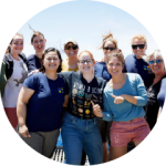
The onboard science team was made up of nine early career researchers, including the Chief Scientist.
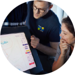
Approximately 37,000 square kilometers of bathymetric data will contribute to the Seabed2030 Initiative.
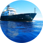
The onboard Acoustic Doppler Current Profiler (ADCP) acquired surface ocean current vectors and velocities of the water column up to 800m depth for the duration of the expedition.
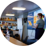
The mapping data will be used to develop research proposals for future geophysical surveys and core samples collections to better understand the region.
